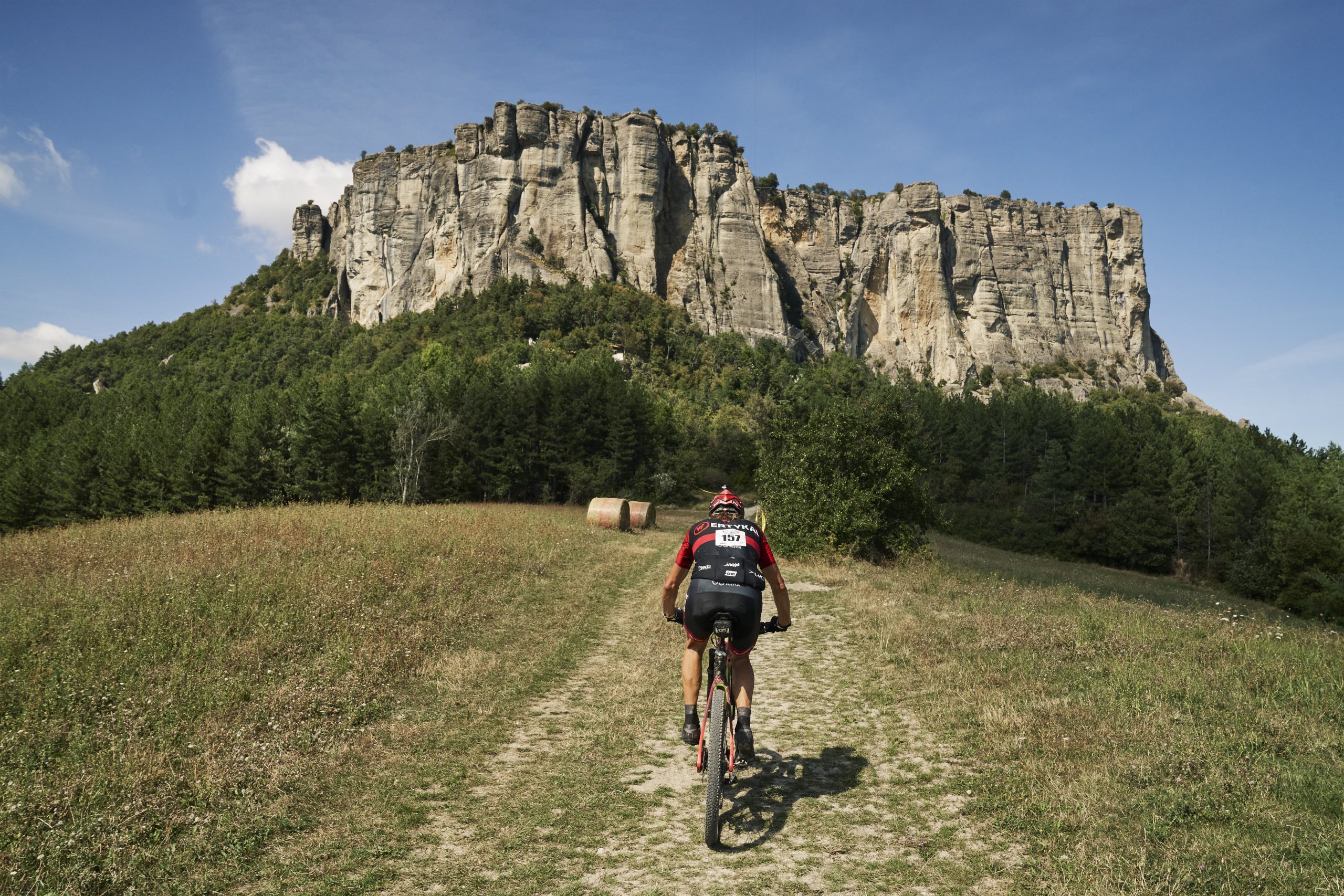
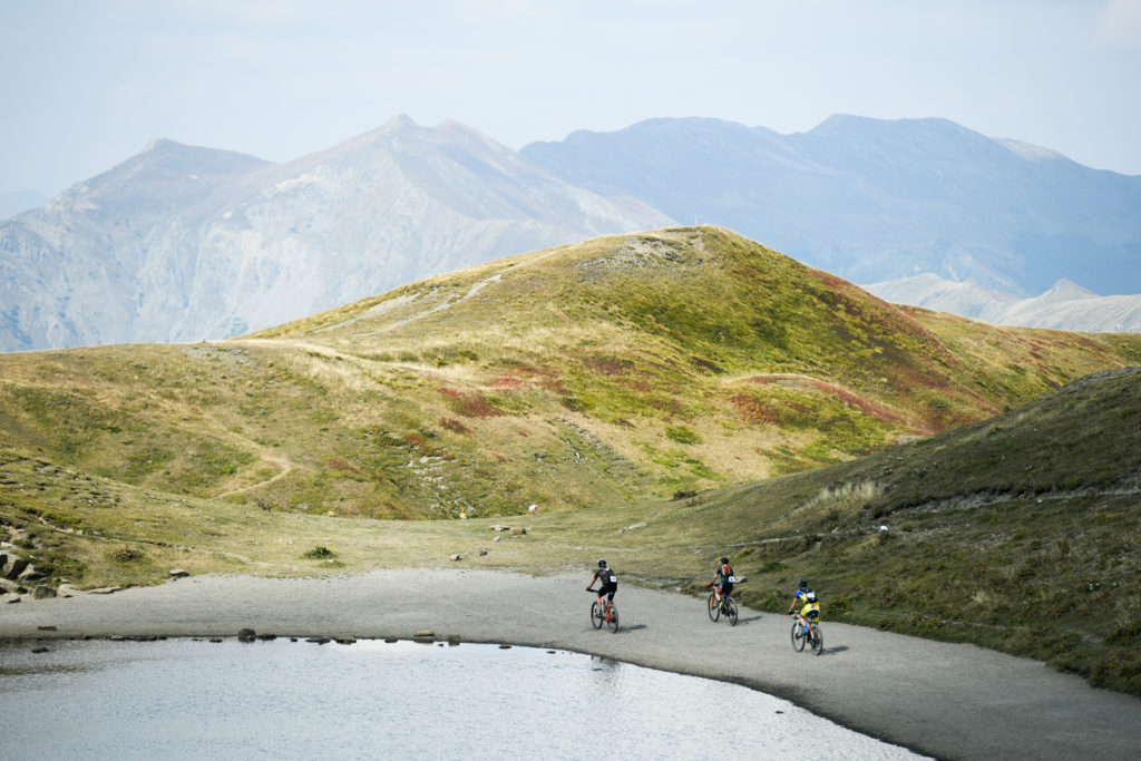
Appenninica MTB Stage Race takes place over 6 consecutive days along the Apennine Mountains.
The racecourse rolls from Bologna to the highest mountains in the province of Modena and Reggio Emilia (Monte Cimone, Monte Ventasso) and on Loiano, Lizzano in Belvedere, Fiumalbo, and Castelnovo ne’ Monti. There will be breathtaking stretches on the ridge that forms the border with Tuscany, and then descents and ascents with technical stretches alternating with forests on which to rest.
The route follows, where possible, the MTB trail of the Alta Via dei Parchi straddling the watershed with Tuscany.
It includes the provinces of Bologna, Modena, Reggio Emilia as well as National and Regional Parks along the Alta Via.
The 150 riders will cover about 400 km for a total elevation gain of approximately 14.000 m. Only after crossing the finish line of the last kilometer can the participants wear the coveted finisher medal.
The Race Villages are set up in small and medium-size villages scattered along the route throughout the Apennines. They will be very near the trails or at short distance to better serve the race logistics. What’s more important is that they are authentic and charming towns that are eager to host us. One of the goals of Appenninica is to afford visibility for the territory as an outdoor destination.
The stage venues of 2023 edition:
BOLOGNA – BO
LOIANO – BO
LIZZANO IN BELVEDERE – BO
FIUMALBO – MO
CASTELNOVO NE’ MONTI – RE

The terrain is very varied and, with the exception of the trails created in the area of the Cimone Bike Park, is all natural trails, forest roads, and for some short connective sections secondary paved roads.
Past riders have called it “real mountain biking” and you’ll have to find out for yourselves what they meant. A full suspension bike is best suited for this course.
As indicated by the elevation gain, the course has steep sections both uphill and downhill but almost all of them rideable by trained athletes with good skills. It will be a course on par with the most famous ultra-endurance races in the world such as Cape Epic and TransAlp.
From a naturalistic point of view, the route crosses parks and forests, faces some river crossing, and runs along alpine-like lakes. The ridge trails are surrounded by spectacular mountain views. Century-old beech and chestnut forests will enchant you. We are committed to creating an event respectful of the environment that hosts it.
The average altitude is between 800 and 1.400 m with peaks at 1.800 m. We’ll start with a time trial that will serve as a short test for legs and equipment. The queen stage of 95 km is a true test of endurance and tactic and you will need to pace your effort well. Stages two through five are at higher altitudes with parts on the legendary ridgeline trails on the Tyrrhenian-Adriatic watershed. Six and seven see lower altitudes and less sparse vegetation.
The route is ancient and has seen the Middle Ages, welcomed pilgrims, and the Partisan Resistance has used it during World War II. Fairies and gnomes could be right around the next tree.
Basically, we planned a route that is a postcard for the European mountain range best suited to outdoor activities: the Apennines. We then added some special ingredients that you only find here: extraordinary cuisine and warmth of the people without forgetting the atmosphere of conviviality for which Emilia Romagna is known and proud.

Appenninica Low Impact
The Appenninica MTB Stage Race organizers are commited to preserving the ecosystem of the region, studying a series of solution to mitigate as far as possible the impact of the race. A specific “Appenninica Low Impact” protocol has been drawn up, which includes concrete action beofre, during and after the race. These actions include the specific decision to limit the number of participants to better protect the environment. In addition to referring to the existing rules of the trail and the code of behavior IMBA (International Mountain Bicycling Association), the organizers of the Appenninica work with the representatives of the Parks in order to experience the territory with the least possible impact.
